The HisGIS 1832 Project
Digitising, Vectorising, and Modelling the Napoleonic Cadastral Maps and Tables for the Netherlands
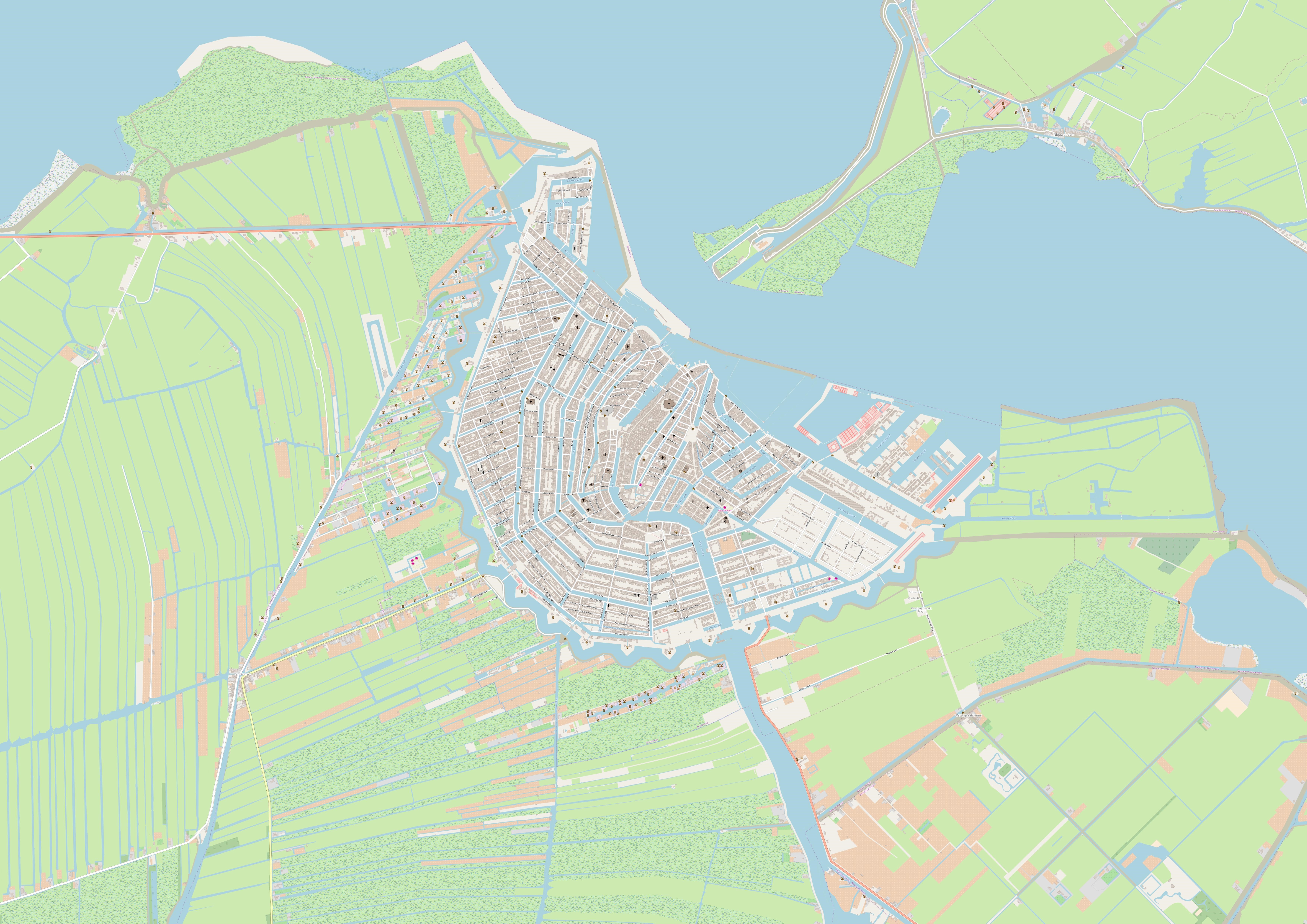
HisGIS.nl (https://www.hisgis.nl) provides a national digital infrastructure for research, policy development, and the creation and promotion of interest in the historic landscape and related built environment of the Netherlands. The project is based on the digitised and vectorised maps and tables of the oldest, so-called Napoleonic cadastre from around 1832, which was introduced in large parts of Europe following French instructions. The purpose of this cadastre was to introduce a new and fair system of taxing land and buildings. It consisted of three pillars that formed an indivisible whole: the measurement of parcels (shown on maps), the registration of ownership and land use (in tables), and a complex system of valuation of types of parcels (documented in a series of municipal reports). The HisGIS.nl project is aimed at national and international (historical, economic, archaeological, sociological, geographical, and ecological) researchers, volunteers, interested citizens, (local) governments and third parties developing (commercial) services for any of the above-mentioned groups.
The development of the HisGIS.nl platform has taken place over several decades and has been significantly expanded, especially in recent years, through the commitment and funding of (regional) governments, volunteers, researchers, and other parties. In 2019, the project was officially handed over from the Fryske Akademy (https://www.fryske-akademy.nl) in Leeuwarden to the Humanities Cluster of the Royal Netherlands Academy of Arts and Sciences (KNAW) in Amsterdam (https://di.huc.knaw.nl).
A new and substantial round of national investment in HisGIS.nl has been secured for the years 2023-2025, which will allow us to make the data and platform consistent, sustainable and well-functioning, and to provide a fully national infrastructure environment. We will also be able to georeference all Dutch cadastral maps that will become available via a partnership with AllMaps (https://www.almaps.org).
Principal investigators: Rombert Stapel (IISH) and Thomas Vermaut (DI-KNAW HuC)
Grant: € 749.731 from Rijksdienst voor Cultureel Erfgoed (https://www.cultureelerfgoed.nl) (in cooperation with Ministry of Education)
Duration: September 2023 – December 2025.