Historical Dutch Toponyms
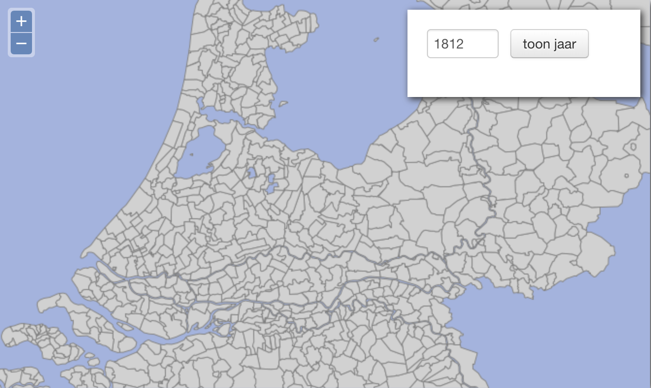
On this page you find a link to the release of the standardized and spatio-temporal coded values of 7,925 place names (hamlets, villages, towns, cities and municipalities) in the Netherlands over the period 1812-2012.
The release contains latitude and longitude coordinates of the centre of its residential area, the name of the old or recent municipality it belonged or belongs to (including time-span), name of the province, postal code range, telephone area code and the Amsterdam code which is standard for the Dutch municipalities.
Data can be downloaded here in two text files and accompanying documentation. The system will be developed continuously; mistakes will be repaired and new entries will be added.
When using these data in any form (presentations, books, articles etc.) the dataset should be cited as: D.P. Huijsmans, IISG-LINKS Dataset Historische Nederlandse Toponiemen Spatio-Temporeel 1812-2012, Release 2013.2.